
Walleye
Low-light feeders that favour stained water, drop-offs, and current edges. Often most cooperative around dawn and dusk.
SpringFall
Reference material for anglers in Canada: how to read the provincial regulation summary that applies to your zone, when species tend to be active through the season, how to match tackle to conditions, and where publicly listed lake and river entry points are documented.

There is no single national freshwater fishing licence in Canada. Seasons, catch limits, gear rules, and licence fees are published by each province or territory, and they can differ by waterbody and management zone. The links below point to the official government summaries.
The annual Recreational Fishing Regulations Summary takes effect January 1 and is organized by zone. An Outdoors Card plus a fishing licence is required for most anglers. ontario.ca fishing regulations
Freshwater regulations are republished every two years; the current synopsis runs April 1, 2025 to March 31, 2027, with in-season changes posted online by region. gov.bc.ca freshwater fishing
General regulations in the Anglers' Guide apply to provincial Crown waters, excluding federal waters such as Prince Albert National Park, where separate rules apply. saskatchewan.ca fishing
A general or salmon licence is required to angle in inland waters, with stated exemptions; provincial licences are not valid inside national parks. novascotia.ca fishing
A provincial or territorial licence is generally not valid inside a national park. National parks are administered separately and may require their own permit. Confirm before you travel.
Open seasons are set per zone, so the windows below describe general activity patterns rather than legal dates. Always check the current summary for the exact opening and closing dates that apply to your water.
Low-light feeders that favour stained water, drop-offs, and current edges. Often most cooperative around dawn and dusk.
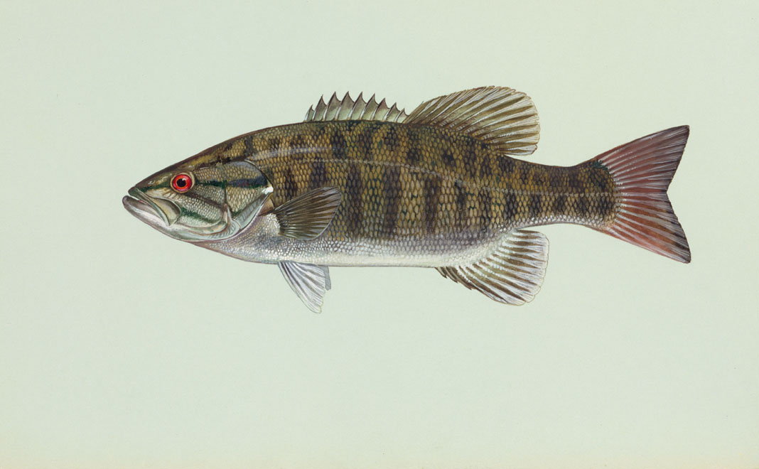
Hold near rocky points, submerged boulders, and shoals. Active and aggressive once water warms through summer.

Ambush predators that sit in weed lines and bay edges. A frequent target through open water and the hard-water season.
Most public ramps and shore access points are listed by the body that maintains them — a province, a municipality, or a conservation authority. A few steps narrow the search quickly.
In Ontario, Fish ON-Line maps fishing access points, regulations, and stocking records for more than 20,000 waterbodies. Other provinces publish comparable resources within their fishing pages.
Township and conservation-authority pages list specific ramps and access points, often noting whether motorized boats are permitted, parking, and any launch fee.
Access can close for maintenance, dam work, or low water. Conservation areas publish park-status pages; read the latest posting rather than relying on an older listing.
Three reference pieces covering regulations, seasonal timing, and access — each ending with the official sources used.
How to find your zone, read catch and possession limits, and tell sport from conservation licence limits.
Read articleHow open seasons, water temperature, and light shape when walleye, bass, and pike tend to be active.
Read articleUsing provincial maps, municipal listings, and conservation-authority pages to locate documented entry points.
Read articleIf a regulation reference or access listing here looks out of date, send a note. Editorial corrections are reviewed against the official provincial source before any change is made.
Email
editor@ionlozen.org
Note
This site is informational. For licences, exact seasons, and limits, use the official provincial or territorial authority.